Your cart is currently empty!
Tag: Geography
Gulf of Mexico or Gulf of America? Google Maps and contentious geography | Donald Trump News
United States President Donald Trump’s executive orders have crept into the realm of digital cartography. Google announced on Monday that its online mapping platform, Google Maps, will change the name of the Gulf of Mexico to the Gulf of America for users in the US.
Additionally, Google Maps will change the name of North America’s tallest peak, Mount Denali, to Mount McKinley. These changes will be reflected on the platform once they are made officially by the US government.
Here’s how Google has dealt with places with disputed names in the past, and how the new change will work:
What exactly will change on Google Maps?
- The name of the Gulf of Mexico will change to Gulf of America for users who are within the US.
- It will remain Gulf of Mexico for users within Mexico.
- Google Maps will display both Gulf of Mexico and Gulf of America to users who are neither in the US nor in Mexico.
- The name of Mount Denali will be changed to Mount McKinley for Google Maps users across the world.
How did we get here?
On the day of his inauguration on January 20, Trump signed 26 executive orders. One of these orders renames the Gulf of Mexico to the Gulf of America, and Mount Denali to Mount McKinley.
The Gulf of Mexico is a water body, bound by Cuba, eastern states in Mexico: Tamaulipas, Veracruz, Tabasco, Campeche, Yucatan and Quintana Roo; and states on the Gulf Coast of the United States: Texas, Louisiana, Mississippi, Alabama and Florida.
The snow-capped Mount Denali in Alaska is the highest mountain in North America at an elevation of 6,190 metres (20,308 feet).
The Gulf of Mexico has had its name for about 400 years. In his book, The Principall Navigations, Voiages and Discoveries of the English Nation, published in 1589, English geographer Richard Hakluyt calls the water body “Gulfe of Mexico”. In Mexico, the gulf is also called by its Spanish name, El Golfo de Mexico.
Trump can rename the Gulf of Mexico for his domestic audience, but the rest of the world does not have to go with that name change, since there are no international laws that decide what a common maritime space or a disputed territory is called universally.
Renaming Mount Denali is more straightforward since it is part of US territory. Trump wishes to rename the mountain Mount McKinley after former Republican William McKinley, who was president from 1897 to 1901, and never visited Alaska.
“Our nation’s tallest mountain, which has been called Denali for thousands of years, must continue to be known by the rightful name bestowed by Alaska’s Koyukon Athabascans, who have stewarded the land since time immemorial,” Lisa Murkowski, a Republican US senator from Alaska, posted on X as a response.
The mountain’s name was officially changed to Mount McKinley in 1917. In 2015, the name was changed back to Denali by former Democrat President Barack Obama.
Denali, in the Kuyokan Athabascan language, means “the tall one” or “the high one”. The Indigenous people of Alaska, as well as other residents of the state, prefer the name Denali.
When will Google Maps make the change?
The exact date is not known yet. Google will update the name on its map application when the US government officially makes the change.
“We have a longstanding practice of applying name changes when they have been updated in official government,” Google posted on X on Monday.
In the case of the US, the change will reflect on the application when the names are updated in the Geographic Names Information System (GNIS), the official database maintained by the US Geological Survey (USGS) which contains names of more than one million geographic sites in the US.
It is unclear when the names will be updated on the GNIS, but when Trump signed the January 20 executive order, he wanted the name change within 30 days, which would be February 19.
Why did Google Maps make the change?
“When official names vary between countries, Maps users see their official local name. Everyone in the rest of the world sees both names. That applies here too,” Google said in a post on X on Monday.
A 2008 Google Public Policy Blog post explains further: “For each difficult case, we gather a cross-functional group of Googlers including software engineers, product managers, GIS specialists, policy analysts, and geopolitical researchers. This process benefits from the local knowledge and experience of Googlers around the world.”
But there are also clear economic rationales that drive decisions of companies like Google, say experts.
Companies such as Google make maps “to support their business missions of search and advertising, so the decisions they make about what to put in their maps will ultimately be the decisions that support those goals,” Sterling Quinn, an associate professor at the department of geography in Central Washington University, told Al Jazeera.
Google’s approach, he said, is to “try to make as few customers angry as possible”, either by adding customisations based on region or by introducing ambiguity by either removing names of places or adding multiple names.
“Corporate mapping decisions in political disputes can depend on the economic and political power of the involved parties. I view Google’s ‘Gulf of America’ change as more of a sign that they want to maintain uninterrupted business, rather than a sign that they agree with Trump’s change,” Quinn added.
Has this happened before?
Yes, Google Maps displays different names for certain places, depending on who’s looking.
Kashmir
Both India and Pakistan control parts of Kashmir and claim all of the territory of the mountainous region. In 2019, India revoked the semi-autonomous status of Indian-administered Kashmir, cleaving it into two regions – Jammu and Kashmir in the west and Ladakh in the east.
If you are in India, Jammu and Kashmir, as well as Ladakh appear to be a part of India on Google Maps, with a solid black line around Kashmir. If you are in another country, including Pakistan, Google Maps outlines Jammu and Kashmir, as well as Ladakh, with a black dashed line.
Persian Gulf or Arabian Gulf
What Iran calls the Persian Gulf is called the Arabian Gulf by Arab nations. The water body is bound by Bahrain, Iran, Iraq, Kuwait, Oman, Qatar, Saudi Arabia and the United Arab Emirates (UAE).
If you are in Iran, Google Maps labels the water body as the Persian Gulf. If you are in an Arab country that has a coast on the gulf, such as Qatar, Google Maps will call it the Arabian Gulf. If you are in any other country that does not have a coast on the gulf, Google Maps labels the water body “Persian Gulf (Arabian Gulf)”.
Sea of Japan or East Sea
The sea that is bound by Japan and the Korean Peninsula is called the Sea of Japan by Japan, while both North and South Korea call it the East Sea.
If you are in Japan, Google Maps labels it the Sea of Japan. In South Korea, it appears as the East Sea. Outside of Japan and South Korea, it appears as “Sea of Japan (East Sea)”.
How have people reacted to the recent Google Maps announcement?
The Google Maps announcement about the upcoming changes related to the Gulf of Mexico prompted a mixed bag of responses online. On X, while many welcomed the move, some posted about shifting to other mapping platforms such as Apple Maps.
When it does, I will delete google and use DuckDuckGo and Apple maps.
— UncleTummy No Blue checkmark but voting Blue (@UncleTummyTX) January 29, 2025
However, in November 2019, the lower house of the Russian parliament announced that Apple Maps would display Crimea as part of Russia when viewed from Russia. In 2014, Russia annexed Crimea in an internationally condemned move.
Outside Russia, Crimea is clearly marked as Ukrainian territory on Apple Maps.
Currently, on Google Maps, there is a black dashed line between Ukraine and Crimea, as well as between Ukraine and Russia, whether the map is viewed from Ukraine, Russia or another country.
Al Jazeera reached out to Apple to ask whether Apple Maps will be changing the names of the Gulf of Mexico or Mount Denali, but did not receive a response.
Are maps objective?
Not really.
“Many people want to treat maps like objective documents, but maps are a product of the culture and values of the people that produce them,” Quinn, the geography professor, said.
He explained that names of places have always been “fluid, contested, and political”.
“Ultimately, people who use the names will be the ones who decide what they are,” he said, adding that names of geographical sites that people use in conversations might not always be reflected in institutionally produced maps.
“That being said, a widely-used map like Google Maps has a lot of potential to influence the way that people perceive the world.”
In recent years, there has been a growing debate over the name of the body of water located off the southern coast of the United States. While traditionally referred to as the Gulf of Mexico, some have argued that it should be called the Gulf of America instead.This contentious issue has even made its way onto Google Maps, where users have noticed that the body of water is labeled as both the Gulf of Mexico and the Gulf of America depending on where you are viewing the map from. This discrepancy has sparked further debate among internet users and scholars alike.
One of the most vocal proponents of the name change is former President Donald Trump, who has argued that calling it the Gulf of America would be more patriotic and in line with his “America First” agenda. However, many have pushed back against this idea, citing the long-standing historical and cultural significance of the name Gulf of Mexico.
Ultimately, the decision of what to call this body of water may seem trivial to some, but it speaks to larger questions of national identity and sovereignty. As the debate continues to unfold, it will be interesting to see how Google Maps and other digital platforms navigate this contentious geography.
Tags:
- Gulf of Mexico vs Gulf of America
- Google Maps geography
- Donald Trump news
- Gulf of Mexico boundaries
- Controversial geography debates
- Gulf of Mexico history
- Donald Trump foreign policy
- Gulf of America disputes
- Google Maps controversy
- Gulf of Mexico oil industry
#Gulf #Mexico #Gulf #America #Google #Maps #contentious #geography #Donald #Trump #News
South America (Rookie Read-About Geography (Paperback)) – Paperback – GOOD

South America (Rookie Read-About Geography (Paperback)) – Paperback – GOOD
Price : 4.65
Ends on : N/A
View on eBay
Are you looking to teach your child about the fascinating continent of South America? Look no further than the “South America (Rookie Read-About Geography)” paperback book! This educational and informative book is perfect for young readers who are interested in learning about the geography, culture, and wildlife of South America.From the Amazon Rainforest to the Andes Mountains, this book covers all the important landmarks and features of South America in an easy-to-understand way. With colorful illustrations and simple text, children will be engaged and captivated as they explore the wonders of this diverse continent.
Whether you’re planning a trip to South America or just want to expand your child’s knowledge of the world, this paperback book is a great resource. Pick up a copy today and start your child’s journey into the wonders of South America!
#South #America #Rookie #ReadAbout #Geography #Paperback #Paperback #GOOD,ages 3+![Help Your Kids with Geography, Ages 10-16 [Key Stages 3-4]: A Unique Step-by](https://ziontechgroup.com/wp-content/uploads/2025/01/1735994491_s-l500.jpg)
Help Your Kids with Geography, Ages 10-16 [Key Stages 3-4]: A Unique Step-by

Help Your Kids with Geography, Ages 10-16 [Key Stages 3-4]: A Unique Step-by
Price : 7.48
Ends on : N/A
View on eBay
-Step GuideGeography is an important subject that helps children understand the world around them. From learning about different countries and cultures to understanding the impact of human activity on the environment, geography offers a wide range of valuable lessons.
If you want to help your kids excel in geography, here is a unique step-by-step guide tailored for kids aged 10-16 (Key Stages 3-4):
1. Start with the basics: Begin by teaching your kids about the continents, oceans, and major countries of the world. Use maps, globes, and other visual aids to make learning fun and engaging.
2. Explore different cultures: Introduce your kids to the diverse cultures and traditions of different countries. Encourage them to research and learn about the customs, languages, and religions of people around the world.
3. Study physical geography: Teach your kids about the Earth’s physical features, such as mountains, rivers, and deserts. Help them understand how these natural formations shape our planet and impact human activity.
4. Learn about climate and weather: Explore the concepts of climate zones, weather patterns, and natural disasters. Encourage your kids to track weather changes in their own region and understand the factors that influence them.
5. Investigate human geography: Dive into topics like population growth, urbanization, and globalization. Discuss how human activity affects the environment and how different societies adapt to their geographical surroundings.
6. Engage in hands-on activities: Take your kids on field trips to local parks, museums, or geographical landmarks. Encourage them to create maps, conduct surveys, or participate in geography-related projects to reinforce their learning.
7. Use technology as a tool: Utilize online resources, interactive maps, and educational apps to enhance your kids’ understanding of geography. Encourage them to explore virtual tours, videos, and games that make learning fun and interactive.
By following this step-by-step guide, you can help your kids develop a strong foundation in geography and cultivate a lifelong curiosity about the world. With your support and guidance, they will be well-equipped to navigate the complexities of our global society and become informed global citizens.
#Kids #Geography #Ages #Key #Stages #Unique #Stepby,ages 3+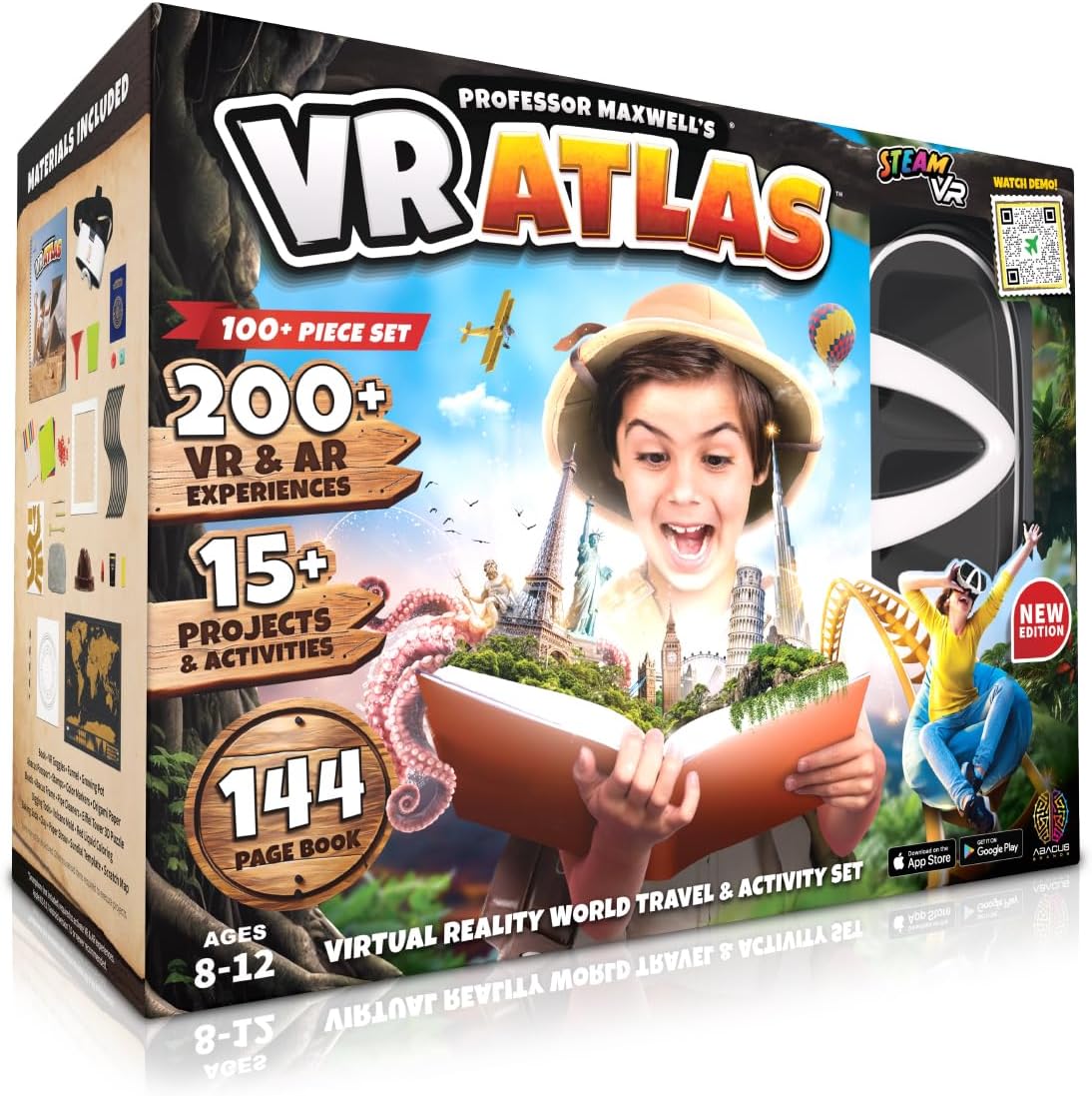
Professor Maxwell’s VR Atlas – Virtual Reality Kids Science Kit, Book and Interactive Geography STEM Learning World Travel Activity Set (New Edition)
Price:$69.99– $52.47
(as of Nov 25,2024 23:49:37 UTC – Details)
Product Description


THE ULTIMATE IMMERSIVE VR / AR LEARNING EXPERIENCE – A comprehensive 144 page, interactive, illustrated world atlas, combining world travel with hands-on projects and activities as we emark on hundreds of landmarks, destinations, cities, cultures, currency and cusine from around the world in stunning virtual reality, making this the most comprehensive learning toy on the planet!
IMMERSIVE INTERACTIVE CONTENT – Each page comes alive in both augmented and virtual reality to give you an immersive educational toy experience. Watch as the Colosseum builds itself in AR on the page, then trigger a hotspot and go inside to have a look around for yourself in virtual reality. Imagine learning about Japan, then doing an Origami project. Or digging out your very own T.rex fossil (included) after learning about Dinosaur Provencial Park in Alberta.
MORE THAN JUST GEOGRAPHY – It’s not just about the geography, but the history and science behind it. Explore the topography of deserts and mountains, discover the talletst buildings and longest bridges, and even the oceanography of the reefs as we explore the wonders of the world, one country at a time! Discover the population of each country, and the currency they use, or how they say “hello” in the local language and more!
VR GOGGLES INCLUDED – Includes a pair of hands-free goggles to create an immersive learning experience. Download the free mobile app in the Apple or Google store and use any smartphone to get started!
MATERIALS INCLUDED – The kit includes a complete set of materials to engage in hands-on play, including 3D puzzles, a scratch map to track your travels, your very own passport and stamps, along with dozens of games and activities to foster both a tangible and digital learning environment!
Are you looking for a fun and educational way to teach your kids about the world? Look no further than Professor Maxwell’s VR Atlas! This virtual reality kids science kit, book, and interactive geography STEM learning set is the perfect way to engage your children in the wonders of the world.With the new edition of Professor Maxwell’s VR Atlas, your kids can embark on a virtual journey around the globe, exploring different countries, cultures, and natural wonders. They can learn about the Earth’s ecosystems, landmarks, and more in an immersive and interactive way that will spark their curiosity and love for learning.
This set includes a VR headset, a book full of fascinating facts and information, and interactive activities that will keep your kids entertained for hours. Whether they’re exploring the Great Barrier Reef, climbing Mount Everest, or learning about the Amazon rainforest, Professor Maxwell’s VR Atlas will take them on an unforgettable adventure through the world.
Don’t miss out on this incredible opportunity to ignite your child’s passion for science and geography. Get your hands on Professor Maxwell’s VR Atlas today and watch as your kids’ minds expand and their love for learning grows!
#Professor #Maxwells #Atlas #Virtual #Reality #Kids #Science #Kit #Book #Interactive #Geography #STEM #Learning #World #Travel #Activity #Set #Edition
Over Researched Places: Towards a Critical and Reflexive Approach (Routledge Studies in Human Geography)
Price: $180.00
(as of Nov 21,2024 07:22:32 UTC – Details)
Publisher : Routledge; 1st edition (May 31, 2022)
Language : English
Hardcover : 170 pages
ISBN-10 : 0367567717
ISBN-13 : 978-0367567712
Item Weight : 1.08 pounds
Dimensions : 6.14 x 0.6 x 9.21 inches
Over Researched Places: Towards a Critical and Reflexive Approach (Routledge Studies in Human Geography)In the field of human geography, certain places have been extensively researched and studied to the point of saturation. These over researched places often dominate academic literature and discussions, leaving other important locations and perspectives marginalized or overlooked.
In our upcoming book, “Over Researched Places: Towards a Critical and Reflexive Approach,” we aim to challenge the status quo and encourage a more critical and reflexive approach to studying these well-trodden areas. By examining the power dynamics, biases, and limitations inherent in research on over researched places, we hope to shed light on the need for more diverse and inclusive perspectives in geographical scholarship.
Through a series of case studies and theoretical discussions, our contributors explore the implications of focusing on certain places over others, and the ways in which this can perpetuate inequalities and reinforce dominant narratives. We also offer practical strategies for researchers to adopt a more critical and reflexive approach in their own work, by interrogating their own biases, assumptions, and privilege.
Join us on this journey towards a more inclusive and nuanced understanding of place, as we challenge the dominance of over researched places in geographical scholarship and pave the way for a more equitable and diverse field of study. Stay tuned for the release of “Over Researched Places: Towards a Critical and Reflexive Approach” in the Routledge Studies in Human Geography series.
#Researched #Places #Critical #Reflexive #Approach #Routledge #Studies #Human #Geography
